9.3 mi South of Bridgeport on FM 2123, then 0.3 mi West on CR 3673 (Gentry Rd), then 0.7 mi South on CR 3671 to intersection with FM 3672
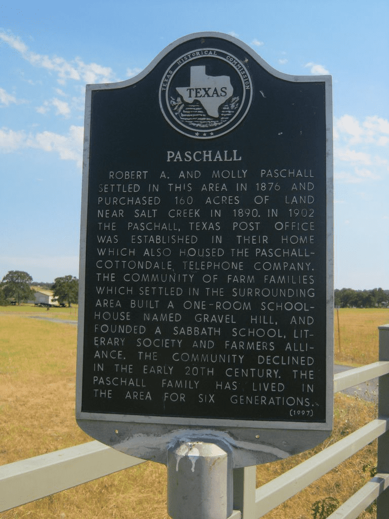
Robert A. and Molly Paschall settled in this area about 1876 and purchased 160 acres of land from Uriah Perkins, who had originally homesteaded the land in 1854. In 1902, the Paschall, Texas post office was established in the home of Robert A. Paschall, which also housed the Paschall-Cottondale Telephone Company. The community of farm families which settled in the surrounding area built a one-room schoolhouse named Gravel Hill, and founded a Sabbath school, literary society and Farmers Alliance.
Early settlers were said to have built a ‘fort’ for the families to take refuge during Indian raids. The location of the fort has been lost to history, but it is said to have been located across the creek, south of the Paschall place, or what was the Uriah Perkins place during the 1860’s. Indian depredations were extremely bad during the Civil War years in Texas.
The community declined in the early 20th century. The Paschall family has lived in the area for six generations (1997).
An old cemetery is located on the property of Jim Paschall, but there is little left to see except some rocks with no markings. It is believed it was the family cemetery of Uriah Perkins and early burials may have been dated between 1854 and 1876.